Park Itineraries
Can you imagine walking with sea views near cliffs? Or pedaling through rice paddies and enjoying the calm of a river that's about to reach its end? Or climbing an imposing castle with endless views?
180 kilometers of marked routes
Itineraries can be grouped according to the region through which they pass:
-
Sea paths: itineraries that follow the coastline and provide access on foot to such beautiful cales, or coves, as Calella, Pedrosa, Ferriol, Montgó, Mateua Isle or Roja de Pals Isle.
-
Trails of Montgrí: itineraries that lead us into this unique massif on foot and help us discover the castle, the Santa Caterina valley and chapel, or the old paths that connect Torroella de Montgrí with L'Estartit and L'Escala passing through Ullà and Bellcaire.
-
Trails on the plain: itineraries to enjoy the agricultural plain and the wetlands and marshes of the Ter river mouth. They also bring us to the area’s historical heritage, such as the Ullà Lock. As for cycling and horseback trails, there are itineraries such as the one that follows the right bank from Gualta to the river mouth, or other routes that pass through fortified farmhouses, mills and farms.
-
Historical roads: short itineraries on foot that wind their way through the town centres of historical interest in the municipalities where the Natural Park is located.
-
Paths surrounding the Natural Park: itineraries that, in several stages, allow you to walk around the Natural Park and enjoy all its landscapes. The "Montgrí and Baix Ter Route" consists of four stages on foot, while the "cycle tour" is done in two stages by bike.
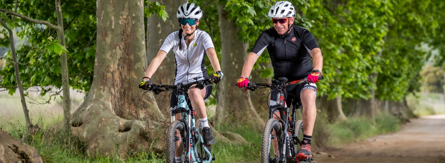
In addition to cycling, there are specific routes for mountain biking (BTT) that cover the Montgrí massif, an ideal terrain for this activity. There are also mountain bike routes on the coast of L'Escala (Planasses area) and around the Pals rice fields.
More information
Most of the Natural Park itineraries – about forty – can be consulted on the Natura Local platform and on the Generalitat Parks website.