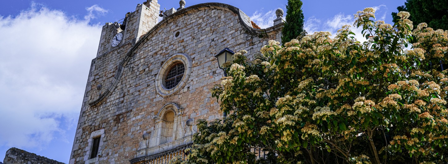
Ullà

Ullà
Between river and mountain
The municipal area of Ullà extends from the southern slopes of the Massís del Montgrí, at the foot of the mountain of Ullà, to the left bank of the Ter. The municipality borders Bellcaire d'Empordà to the north, Torroella de Montgrí to the east, Gualta to the south and Tallada d'Empordà to the west.
The town is documented in the s. IX as a possession of the bishops of Girona since the IX century. The oldest document, from 834, is a precept of Lluís el Peietós which recognizes to Bishop Guimer, among other domains, the pagus d'Empúries (county of Empúries) and villam nuncupatam Olianus cum suis terminis (The town occupied by lands of 'olive trees). Subsequently, in the year 879 in other documents it appears referred to as "Oliano" and two years later as "Uliano", until it reached the name of Ullà.
The Ullan population was relatively high in the s. XII. Throughout this century and until the end of the s. XIX gradually increased, but from then on it decreased and remained stationary until the sixties, when a new increase occurred. Although it remained under 800 inhabitants during the last decade of the 20th century, at the beginning of the 21st century it grew again until today in which the municipality has 1072 inhabitants.


